


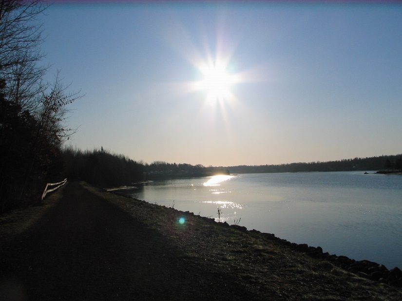
In 1989, after Prince Edward Island’s railway had been abandoned, the Confederation Trail was established. The trail covers 273km from tip-to-tip (Elmira to Tignish), but in fact has 410km of excellent trail surface for use. The trail doubles as a walking/cycling route in the summer months and as a snowmobile trail during the winter. In eastern Prince Edward Island, there are many access points to the trail, some of which are listed below under the SEA Watershed Management Region. Branch trails are located from Georgetown to Mount Stewart, Cardigan Junction to Montague, New Harmony Junction to Souris, and Charlottetown to Murray Harbour. These branches give hikers and cyclists the opportunity to explore the trail from wherever they are living or visiting.
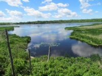
The trail offers a unique place where PEI habitat and heritage come together!! You will find yourself travelling through various small heritage towns and villages, as well as, discovering PEI’s nature at its best. There are hundreds of beautiful plants and animals to see along the trail, as well as, scenic views that will take your breath away. Come and explore what the southeastern portion of the Confederation Trail has to offer – you won’t be disappointed!!
Entrance points along the Confederation Trail in the SEA Management Region:
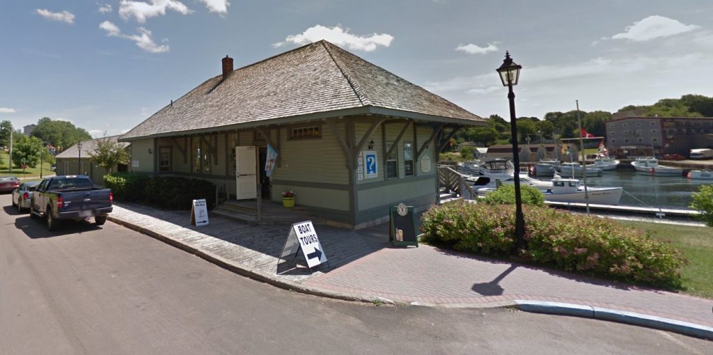
- Montague: Montague Waterfront, 1 Station Street – next to the Train Station Welcome Center
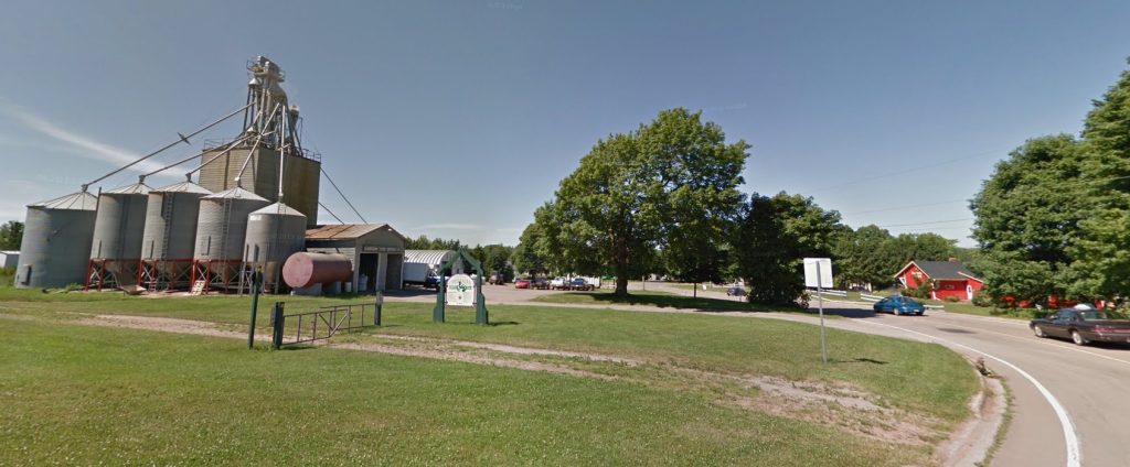
- Cardigan: Cardigan Park, 335 Station Road – next to the Cardigan Farmer’s Market
- Georgetown: Veteran’s Landing, 13 West Street – next to Clam Digger’s Beach House & Restaurant
- Murray River: 9488 Main Street South – just past the Esso Gas station
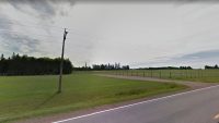
- Murray Harbour: Rail Head Park, 19 Station Lane – just before Machons Point Road
- Wood Islands: Plough the Waves Welcome Center, 13056 Trans Canada Hwy – just off the Wood Islands Ferry